Minn Kota
Cannon
BLA
AU
NZ
Explore
Fish Finders
APEX
SOLIX
HELIX
PiranhaMAX
Accessories
MEGA Live
360 Imaging
Cables
Transducers
Mounts & Hardware
Cases & Covers
Mapping / Software
Apparel
Pro Team
Learn
Fish Finder Buying Guide
Fish Finder Series
APEX™ Series
SOLIX® Series
HELIX® Series
PiranhaMAX® Series
Sonar
Dual Spectrum CHIRP Sonar
SwitchFire
Imaging
MEGA Imaging®
MEGA 360 Imaging™
Side Imaging
Down Imaging
Mapping
CoastMaster™ Charts
AutoChart
Networking & Navigation Technology
GPS
i-Pilot Link
CHIRP Radar
NMEA 2000®
Autopilot
One-Boat Network™
Humminbird Videos
About Humminbird
Support
Software Updates – US
Warranty
Contact Us
Product Manuals
Dealer Locator
Search
NAVIONICS PLATINUM XL CHART NEW ZEALAND
$
479.90
Find A Dealer
SKU
111594
Categories
Accessories
,
Transducers
Related products
Find A Dealer
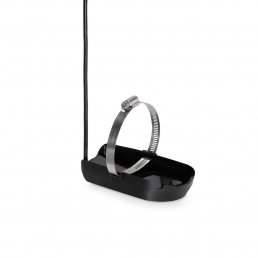
200/50 Transom DualBeam Transducer
$
409.90
Find A Dealer
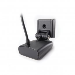
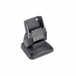
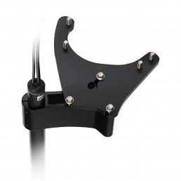
HUMMINBIRD MOUNT BRACKET QUICK DISCONNECT 700HD
$
139.90
Find A Dealer
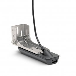
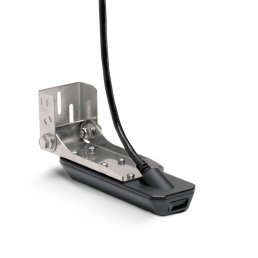
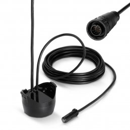
HUMMINBIRD TRANSOM TRANSDUCER MEGA+ DI HW HELIX 8 9 10 12 G3
$
899.00
Find A Dealer
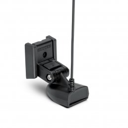
HUMMINBIRD TRANSOM TRANSDUCER MEGA SI HW HELIX 7 MSI G3 G4
$
719.00
Find A Dealer
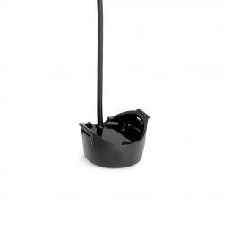
HUMMINBIRD IN HULL TRANSDUCER HW G1, G2 G3 SOLIX
$
419.90
Find A Dealer
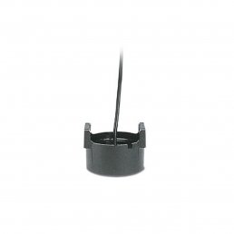
In-Hull Single/DualBeam Transducer (no temp)
$
269.90
Find A Dealer
HUMMINBIRD BOW MOUNT BRACKET 360 IMAGING ULTREX
$
1,049.00
Find A Dealer
HUMMINBIRD TRANSOM TRANSDUCER MEGA+ DI HW G2 G3 SOLIX
$
899.00
Find A Dealer
In-Hull SOLIX/ONIX DualBeam Transducer
$
299.90
Find A Dealer
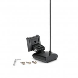
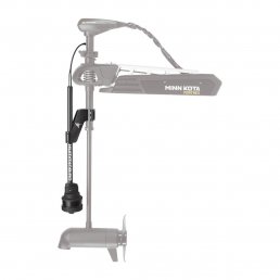
HUMMINBIRD TROLL MOTOR TRANSDUCER MEGA DI HW H7 H8 G3 G4
$
719.00
Find A Dealer
HUMMINBIRD BOW MOUNT TRANSDUCER MEGA 360 FORTREX
$
2,249.00
Find A Dealer
HUMMINBIRD TRANSOM TRANSDUCER HW G2 G3 G4 GPS HELIX
$
329.90
Privacy Preference Center
Privacy Preferences