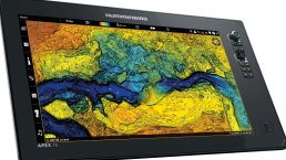
PLAN YOUR ATTACK WITH INDUSTRY-LEADING MARINE CHARTS
Find the path to your next big catch with the incredible accuracy and detail of Humminbird® CoastMaster™. With easy-to-read contours and chart customisation, you’ll have the tools you need to identify the spots you know will hold fish and navigate there safely. Building on the latest data available, CoastMaster delivers unrivalled nearshore and offshore fishing performance throughout Australia.
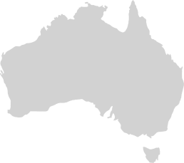
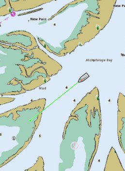
COMPLETE COASTAL COVERAGE
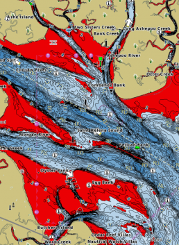
We’ve got you covered with never before seen detail of the Australian coastline. Always know where you are and what’s ahead with full chart detail of the entire Australian coastline as well as over numerous lakes throughout the country.
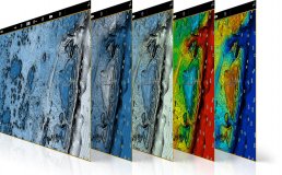
VX TECHNOLOGY
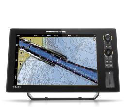
CHART VIEWS
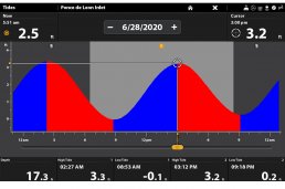
TIDES AND CURRENTS
INDUSTRY - LEADING
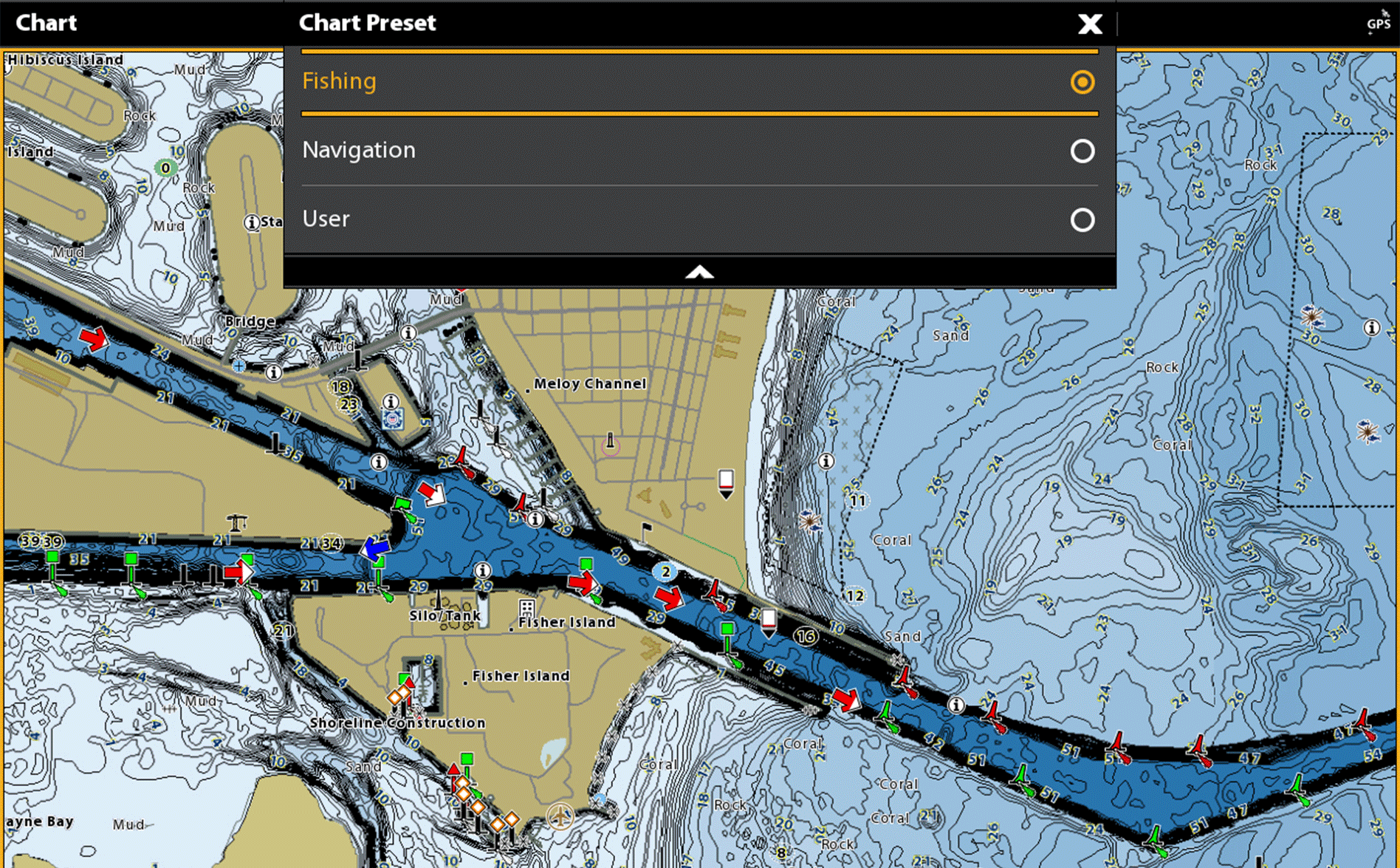
COASTMASTER FEATURES
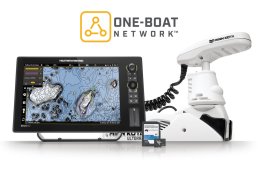
BETTER TOGETHER
CONNECT YOUR MARINE CHARTS TO YOUR MINN KOTA LINK MOTOR
COASTMASTER PREMIUM
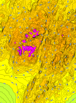
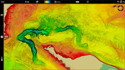
For an added angling advantage, opt for Humminbird CoastMaster Premium Marine Charts. These charts include region-specific coverage and all the features of CoastMaster, with a few key additions: 2D Shaded Relief, Enhanced Aerial Imaging, Auxiliary Contours and Bottom Hardness Layers.
- 2D Shaded Relief – Makes bottom detail and depth changes easy to spot
- Enhanced Aerial Imagery– Navigate confidently and find new fishing spots
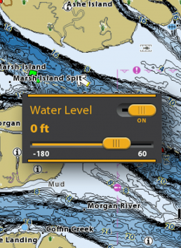
- Auxiliary Contours– Provides additional contours in shallow water areas
- Bottom Hardness – Helps anglers identify bottom composition and key fish-holding areas
MASTER THE SEAS
Fish with a complete arsenal. CoastMaster is compatible with Humminbird HELIX® G3/G3N and all SOLIX® units. Thanks to extensive detail and seaworthy performance, you’ll be able to eliminate unproductive water, navigate safely and land your next trophy.